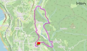
1° stop – AMENO
The departure of this walk is in Ameno, a very quiet and fascinating place. The main attraction of the town is the Gothic park and the Torinielli palace.
Under the entrance gate of the park there are public toilets.
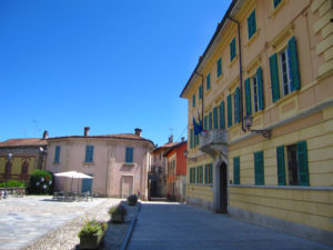
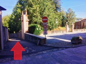
Leaving the town hall behind you, take the road that passes to the left of the Gothic park. At the end of the road turn left and then immediately right to enter the pedestrian path.
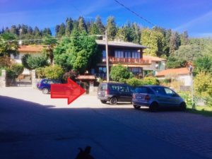
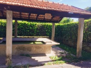
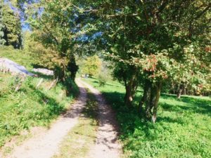
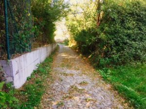
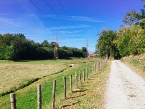
After about a couple of kilometers from the start, once there are stone dining tables, a grill available and a water fountain (not so cold, but it will surely be good for dogs, if you have any) . Then return to the previous route and continue straight on.
The first part of the path is very shady, so you enter the center of the village of Pisogno.
2° stop – PISOGNO (2 km traveled)
Pisogno is a residential hamlet of Miasino. It is not rich in historical or artistic symbols, but is surrounded by lush vegetation. Worthy of a visit however is the small church of San Gottardo, in Baroque style, built in place of a small chapel, around 1500.
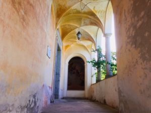
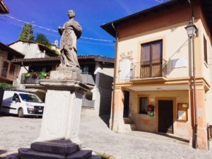
If it is lunch time, we can only recommend the restaurant Ca ’Mea. It is located along Via Costaccia, right in front of the church.
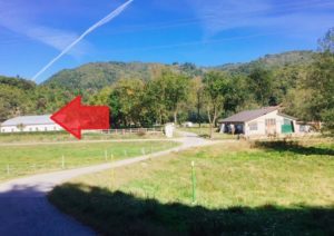
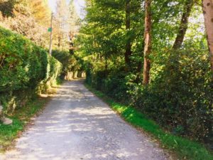
After lunch, return to Via Adua, leaving the church behind you and continue straight on, then follow the directions in the photos.
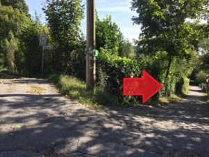
3° stop – LUNGO AGOGNA (3 km traveled)
This part of the route runs along the banks of the Agogna river, one of the tributaries of the Po, which is the longest river in Italy. You will find some meadows where you can rest and watch the water flow.
Then continue following the directions you find marked in the photos.
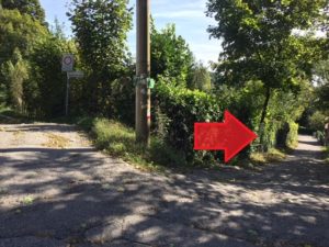
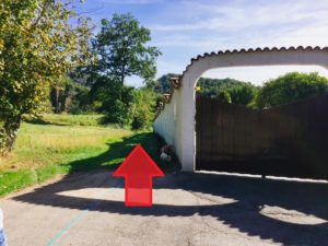
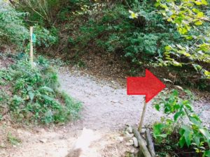
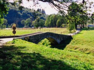
4° stop – PEZZASCO (4 km traveled)
Once you reach the Roman bridge, do not cross it, but turn left. Right at the beginning of the bridge, there will be a small black fountain, if you need water.
We then arrive at another hamlet of Ameno, called Pezzasco.
The road here is paved, driveway, but with very little traffic.
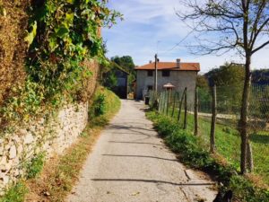
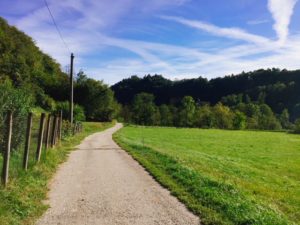
5° stop – MULATTIERA DI SANTA CATERINA (5 km traveled)
After crossing the town of Pezzasco, cross a bridge over Agogna.
Arrived at the sign with the sign “Molino” you will find a small road that goes up, very steep, on the left.
That is the ancient mule track of Santa Caterina, unfortunately now it has been divided by the paved road and it can be crossed divided into two sections. The second part will then end in a wood.
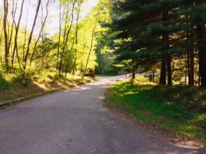
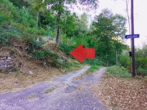
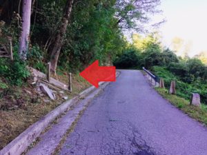
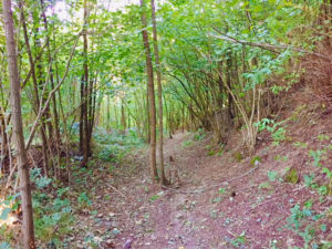
After a while, you will again reach the village of Ameno, where this walk began.
We are not professionals in the field of excursions.
We do it for passion and to offer our guests something more.
Using this qrcode you can download the map directly on your smartphone with altimetric details. At the link there is also the possibility to download the path for your browser, in different file formats.
Otherwise you can download the pdf by clicking here, but it is less precise than the qrcode because it is not possible to increase the size of the
map.
The paths of the Quadrifoglio di Ameno are all pleasant and undemanding.
Unfortunately, on the Ameno turismo site the route is poorly explained and it is difficult to find specific maps (bars and clubs do not have them, only the tourist office has reduced opening). I’m not sure I have taken the path the right way, but on the other hand it is a ring, so it changes little!
Here you can find others:
Being a ring route, you can start from where you want. I recommend starting from Ameno where there is ample free parking. If you need to enter an address on the GPS mark Region Duno n. 7 in Ameno (town).
In front of the parking lot you will find the entrance to the park, cross it and you will be in the town square.
For those who want to get there on foot from Orta, you must add ____ km to the total route, you can see the path to reach Vacciago da Orta at the link _____________________
If you have a polite dog to keep up, 90% of the route can be done without a leash. There are few fountains or streams to quench it.
The Ameno Turismo website says that the route is feasible at 95% mountain biking and 95% on horseback.
Category: Hikings
Armeno
Length: about 6,5 km (about 3 hours)